Most viewed - North America
|
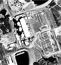
Oconee Nuclear Power Plant2384 views
|
|

Bruno Rita2384 views
|
|

Sequoyah Unit 1 SGRP Workers2384 views
|
|
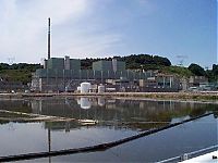
Peach Bottom2384 views
|
|
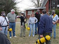
Clay, what are you looking at?2382 views
|
|
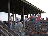
Saint Lucie Spring Outage 20072382 views
|
|
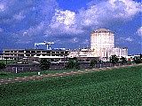
Waterford Nuclear Power Plant2381 views
|
|
Saint Lucie Spring Outage 20072381 views
|
|
The Group2379 views
|
|
Dee Dee and Then Hubbie2377 views
|
|
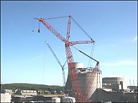
Sequoyah Unit 1 SGRP2377 views
|
|
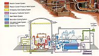
PWR Drawing2377 views
|
|
Rachelle2376 views
|
|
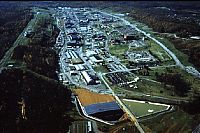
Y-122376 views
|
|
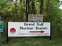
wildman2376 views
|
|
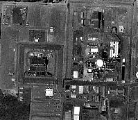
Columbia Generating Station2375 views
|
|
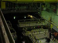
Clinton spent fuel pool2375 views
|
|
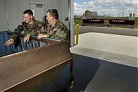
Wolf Creek Nuclear Power Plant2375 views
|
|
Fort Calhoun Nuclear Power Plant2374 views
|
|
Calvert Cliffs Nuclear Power Plant2374 views
|
|
Calvert Cliffs2373 views
|
|
U1 SGRP2372 views
|
|
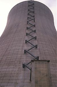
SATSOP2370 views
|
|
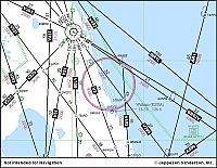
St. Lucie Map2369 views
|
|
2368 views
|
|

KAPL - Kesselring2360 views
|
|
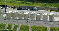
ISFSI2360 views
|
|
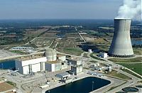
Callaway Nuclear Power Plant2359 views
|
|
bruce d2358 views
|
|
Saint Lucie Spring Outage 20072353 views
|
|

Cattle Grazing near Callaway2352 views
|
|
2352 views
|
|
2352 views
|
|
Drywell Mel2351 views
|
|
sgrp 052350 views
|
|
2350 views
|
|
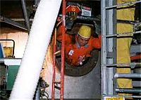
Connecticut Yankee (Haddam Neck)2346 views
|
|
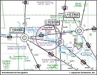
Browns Ferry Map2346 views
|
|

Tori & Amanda2346 views
|
|
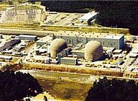
Surry Nuclear Power Plant2341 views
|
|
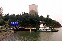
Trojan Nuclear Power Plant (decommissioned)2341 views
|
|

2341 views
|
|
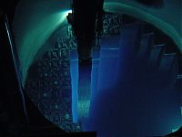
Core and Fuel2340 views
|
|
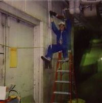
Safety First2339 views
|
|
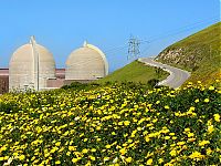
An April 2004 photo of wildflowers at the Diablo Canyon site2339 views
|
|
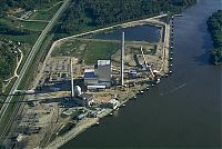
Lacrosse2337 views
|
|

Callaway Bottom of Cooling Tower with Ice2337 views
|
|
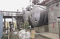
Nuclear Fuel Services (NFS)2337 views
|
|
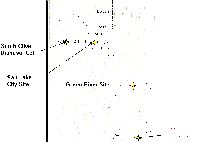
The former Mexican Hat uranium mill site is located on Navajo Nation land 1.5 miles southwest of Mexican Hat, San Juan County, Utah. The site is northeast of the town of Halchita, Utah, which began as the housing area for the mill's employees.2336 views
|
|
Diablo 08 - Shrimp Feed2336 views
|
|
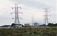
Maine Yankee - 19902335 views
|
|
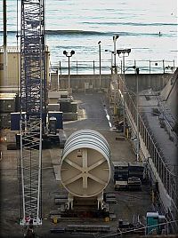
San Onofre Nuclear Generating Station2334 views
|
|
2334 views
|
|
Watts Bar SGRP2333 views
|
|
2333 views
|
|
Clinton containment inside2332 views
|
|
![Filename=n1043175681_330488_1493728[1].jpg
Filesize=8KiB
Dimensions=170x226
Date added=Mar 27, 2009 n1043175681_330488_1493728[1].jpg](albums/userpics/33308/thumb_n1043175681_330488_1493728%5B1%5D.jpg)
Amanda 20082332 views
|
|
Sequoyah Nuclear Power Plant2331 views
|
|
Watts Bar Nuclear Power Plant2331 views
|
|

Diablo 08 - Shrimp Feed2330 views
|
|
2329 views
|
|
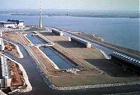
Browns Ferry Nuclear Power Plant2327 views
|
|
Rick2327 views
|
|
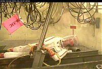
CRDM42326 views
|
|
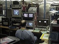
Clinton Remote monitoring Control Point2325 views
|
|
2325 views
|
|
Limerick Nuclear Power Plant2323 views
|
|
2nd TFTR VV Entry Team2322 views
|
|
Joseph M. Farley Nuclear Power Plant2322 views
|
|
Hanford Nuclear Reservation2322 views
|
|

Angie, Tracy?,Mark, Mandy , Melissa, and Todd2322 views
|
|
Clinton Nuclear Power Plant2321 views
|
|
Irradiated Reactor Fuel rods2320 views
|
|
S/G Crew2317 views
|
|
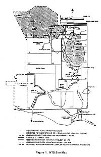
Nevada Test Site Map2316 views
|
|
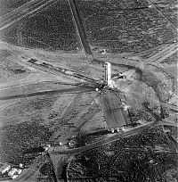
doe nts 692315 views
|
|
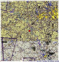
Comanche Peak Map2315 views
|
|
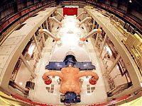
2314 views
|
|

Yankee Rowe Workers2313 views
|
|
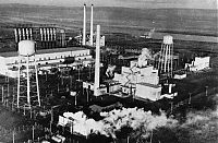
B Reactor2313 views
|
|
| 4661 files on 59 page(s) |
 |
 |
 |
 |
 |
12 |  |
 |
 |
 |
|
