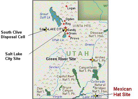
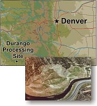
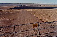
The former Mexican Hat uranium mill site is located on Navajo Nation land 1.5 miles southwest of Mexican Hat, San Juan County, Utah. The site is northeast of the town of Halchita, Utah, which began as the housing area for the mill's employees.
Radioactive mineral deposits in the Triassic rocks of the Colorado Plateau area of Utah were first worked during the early 1900s. In 1912, a high grade vanadium-uranium deposit was mined in the Temple Mountain area of Emery County, Utah. During World War I, high grade uranium ore was mined for radium from deposits in the Chinle Formation (Moss Back Member) at Temple Mountain. Over the period 1920-1940, the U.S. Geological Survey conducted a field reconnaissance and mapping project to evaluate the oil and gas potential in a broad area of eastern Utah and northeastern Arizona. In that study, uranium, vanadium, and copper minerals in Triassic rocks were noted in many places throughout the region, especially near the unconformable contact between the Moenkopi Formation (Early and Middle(?) Triassic age) and the Chinle Formation (Late Triassic age).
 Home
Home Register
 Login
Login Album list
 Last uploads
 Last comments
 Most viewed
 Top rated
 By date
 My Favorites
 Search