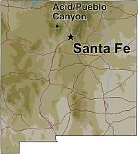
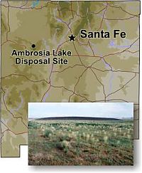
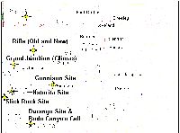
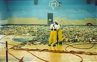
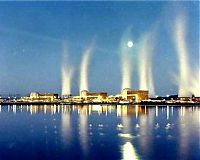
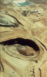
Ambrosia Lake (Phillips Petroleum) Mill 16 files, last one added on Apr 30, 2006 Album viewed 533 times
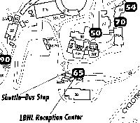
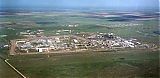
Lawrence Berkeley National Lab (LBNL) 13 files, last one added on Jul 31, 2006 Album viewed 431 times
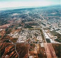
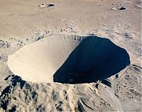
Lawrence Livermore National Lab (LLNL) 9 files, last one added on Apr 30, 2006 Album viewed 535 times
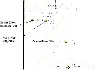
Monument Valley Upgrader (Monument 2 Mine) 1 files, last one added on Jan 24, 2006 Album viewed 346 times
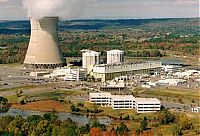
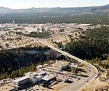
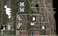
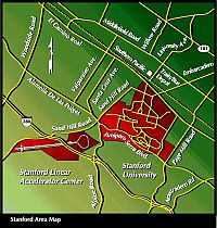
Stanford Linear Accelerator Center (SLAC) 5 files, last one added on Dec 19, 2005 Album viewed 284 times